Capture, annotate, and organize civil engineering site photos.
Built for civil engineers, surveyors, and construction managers who need clean, professional site photos without a desktop workflow. Available now on the App Store for iPhone and iPad. Android is in Google Play closed testing, and Pro is free for Android users during testing.
Android is in Google Play closed testing while the public listing is prepared, and Pro is free for Android users during testing.
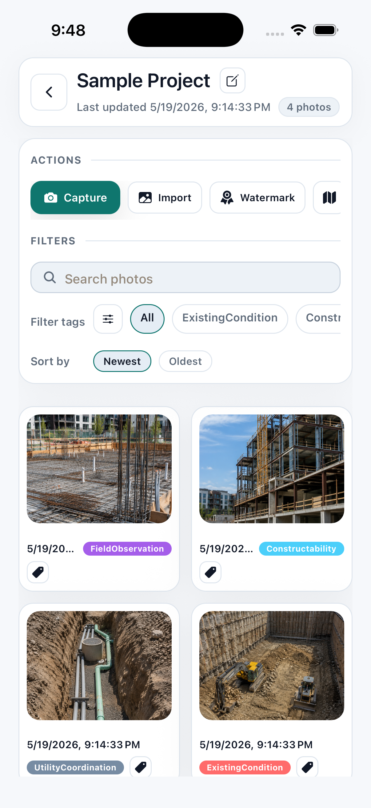
Every photo, fully documented.
Civil Field Photos isn't a generic camera. Every shot includes the metadata you'd otherwise log by hand — and the overlays render directly on the photo so they survive any export.
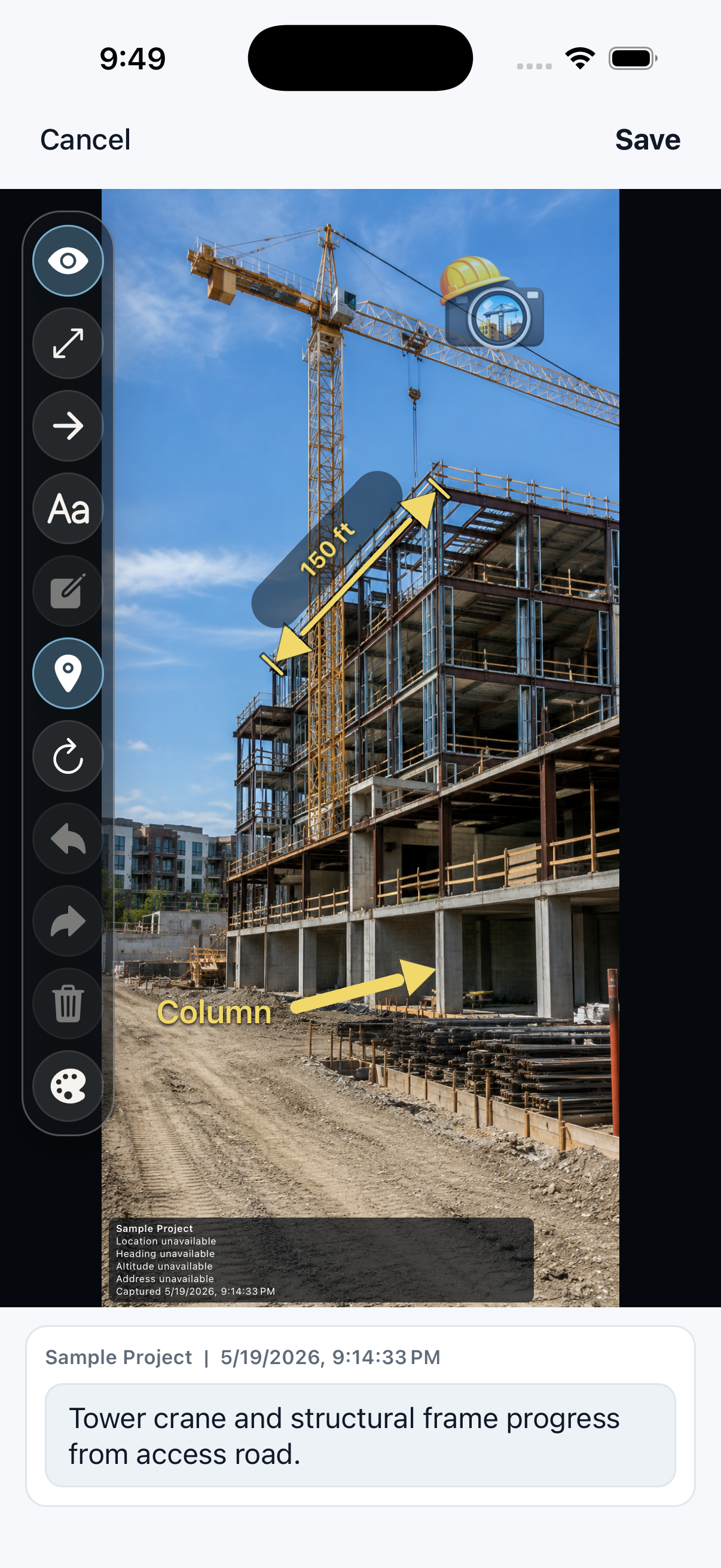
Mark up in the field, not back at the desk.
A full annotation toolset lives on every photo. Add measurements, arrows, callouts, and notes the moment you spot the issue. Originals are always preserved.
Find any photo from any site, months later.
A four-step workflow turns a phone gallery into a real photo-management system.
Group into projects
Each site gets its own folder, branding, and watermark.
Tag for fast recall
Apply custom tags so the right photos surface weeks later.
Search any caption
Full-text search across descriptions and tags.
See on the map
Every photo pinned to its capture location for coverage gaps.
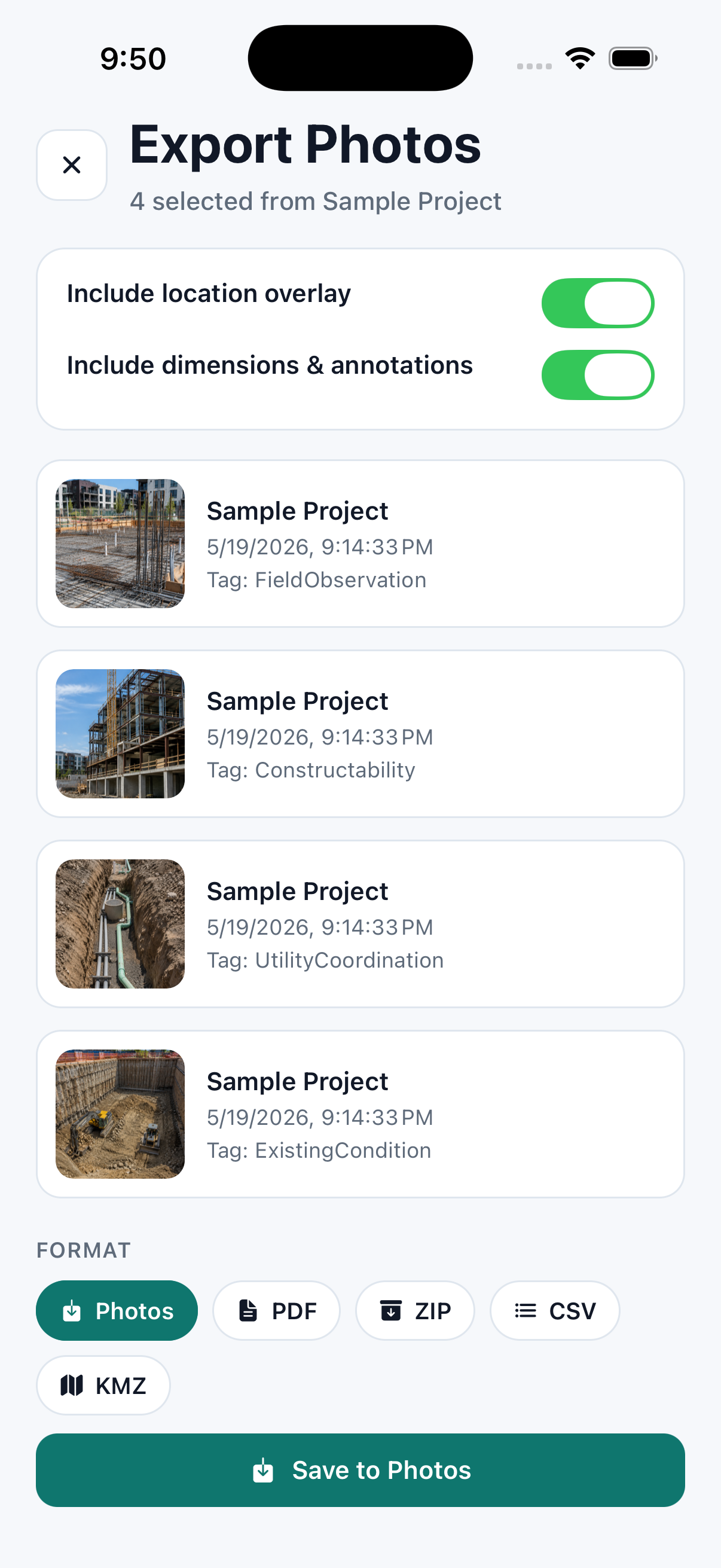
Deliverables your clients expect.
Branded PDF reports, full-resolution ZIPs, and shareable links — all from your phone, all with your firm's stamp.
- ✓Branded PDF reports with captioned photos and GPS data
- ✓Full-resolution ZIP archives with overlays baked in
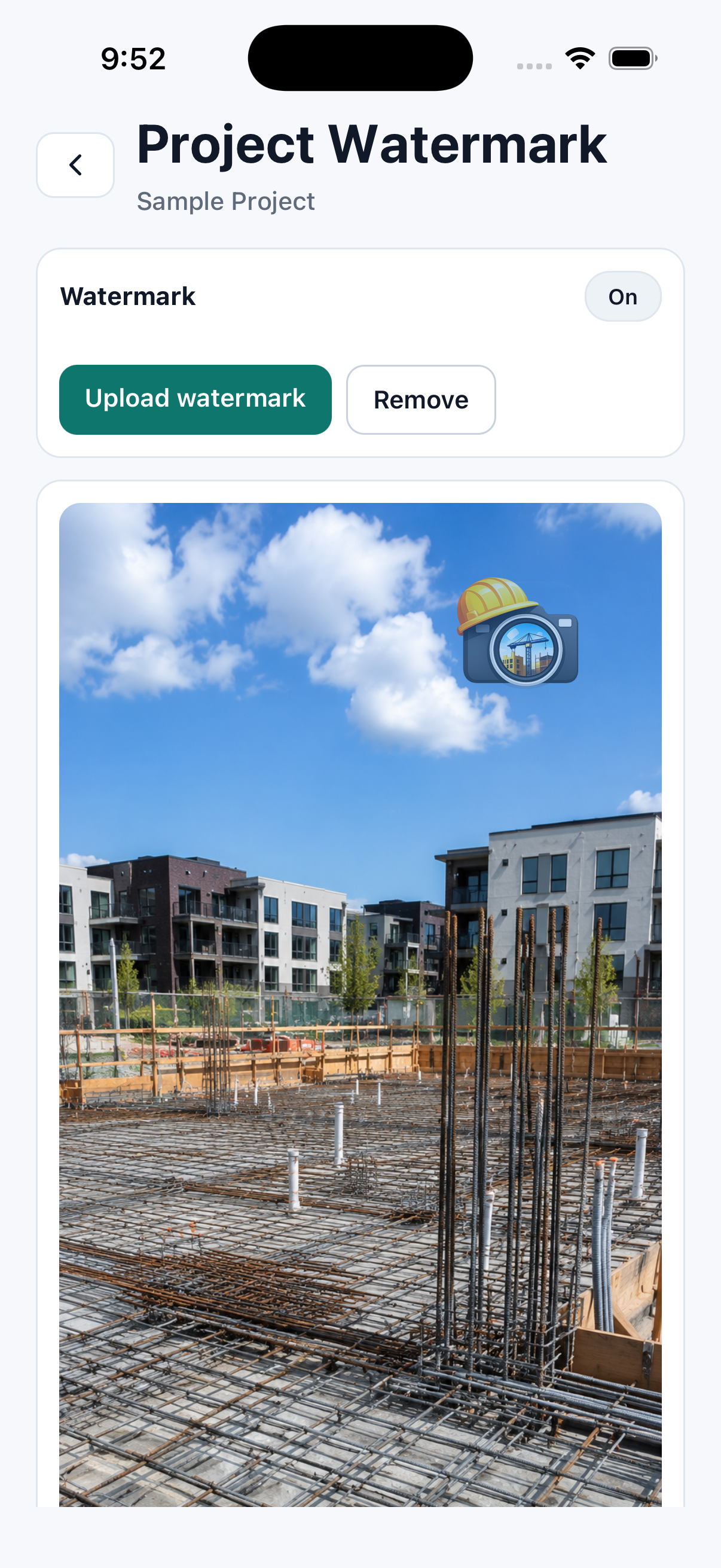
- ✓Custom watermark and logo per project
- ✓Share via AirDrop, email, Slack, Drive, Dropbox — anywhere your phone supports
A complete record, attached to every photo.
A normal camera roll tells you a photo exists. Civil Field Photos records where it was taken, when it was captured, which project it belongs to, and the field notes that explain it.
Get the appLatitude, longitude, and altitude captured from the device.
Reverse-geocoded address added when location services can resolve it.
Capture timestamp stays attached to the photo and report.
Project name, logo, and watermark make exports client-ready.
Compass heading helps reconstruct where the camera was pointed.
Captions and annotations travel with the final deliverable.
User reviews
Civil Field Photos is new on the App Store, so reviews will appear here as they come in. Already using it? A review on the App Store helps other crews find it.
Free to start. Pay when you scale.
One project is free, forever. Upgrade to Pro inside the app for unlimited projects, branded exports, and the full toolset.
Try the full capture and markup workflow with one project.
- ✓1 active project
- ✓Camera capture with GPS overlay
- ✓Basic photo annotations
- ✓Local photo storage
For working professionals who deliver photo packages to clients.
- ✓Unlimited projects and photos
- ✓Custom watermarks per project
- ✓PDF & ZIP exports with branding
- ✓Map view of all captured photos
- ✓Advanced annotation tools
- ✓Priority email support
Civil Field Photos is on the App Store.
Download it free on iPhone and iPad and upgrade to Pro inside the app. Android is in Google Play closed testing while the public listing is prepared — users run the same build, and every Pro feature is free during testing.
Download on the App Store
Free to download, with one project included. Pro is a paid in-app upgrade for unlimited projects and branded exports.
Google Play closed testing
Three steps, in this order, all with the same Google account.
- 1
- 2
- 3
If Play says the app isn't available, step 1 or 2 hasn't gone through yet, or you're signed in with a different Google account. Google requires testers to stay opted in for at least 14 days, so please leave it installed. Pro is free for users during testing — Play uses a test card and you are never charged.
On Android but would rather wait for the public release? Email us and we'll let you know when the Google Play listing goes live.
Get Android launch updatesAndroid is in Google Play closed testing while the public listing is prepared, and Pro is free for Android users during testing.